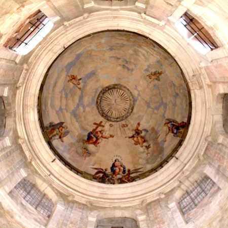
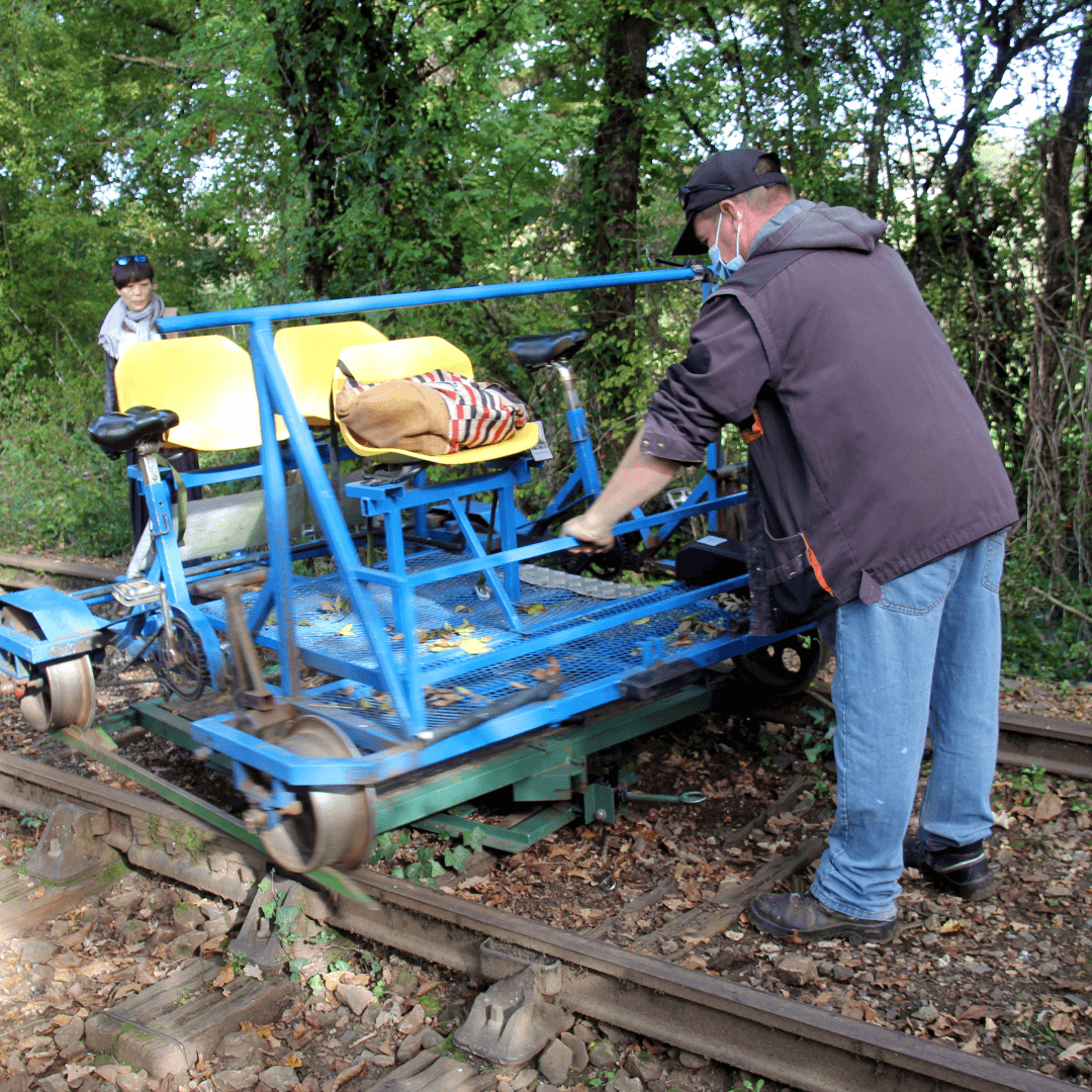
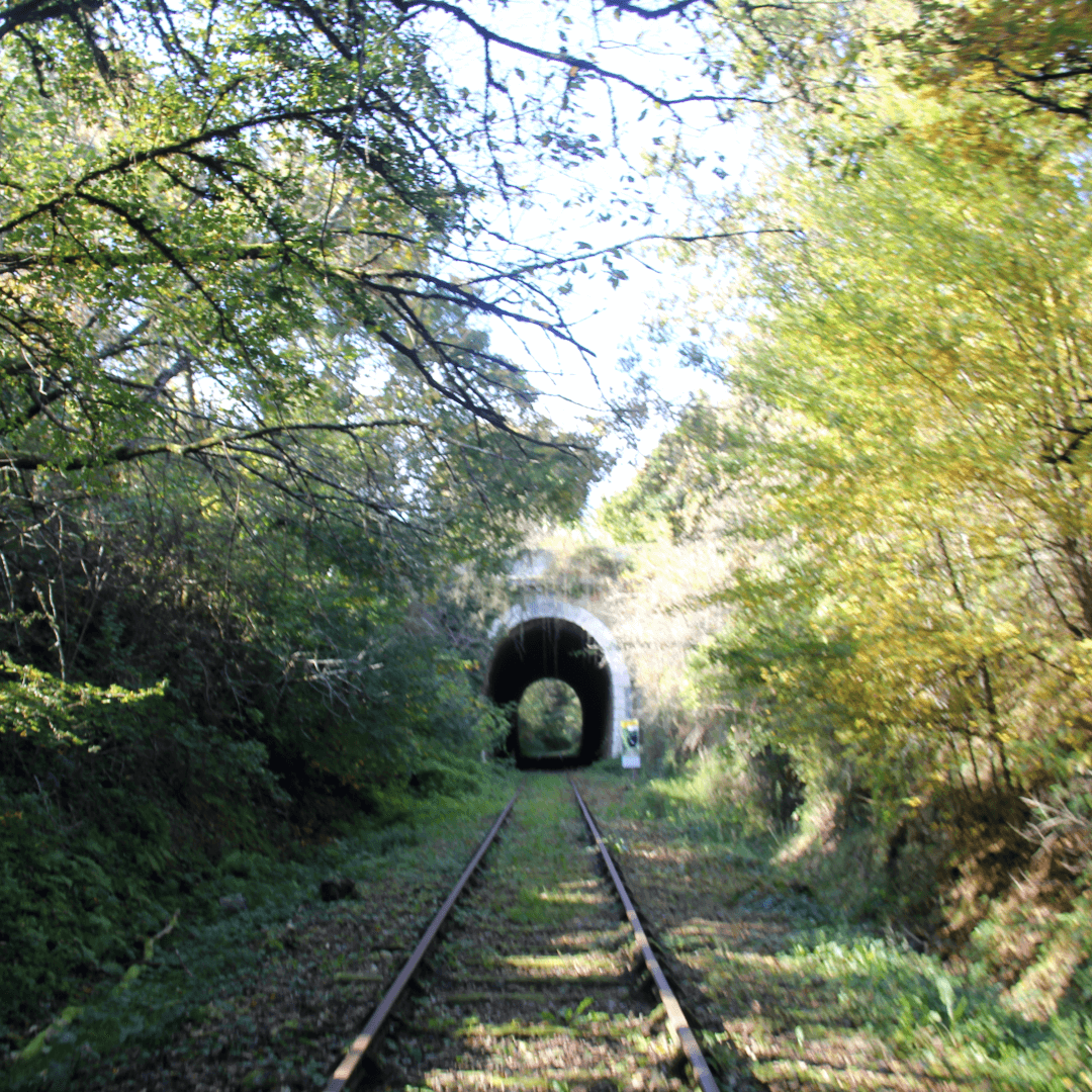
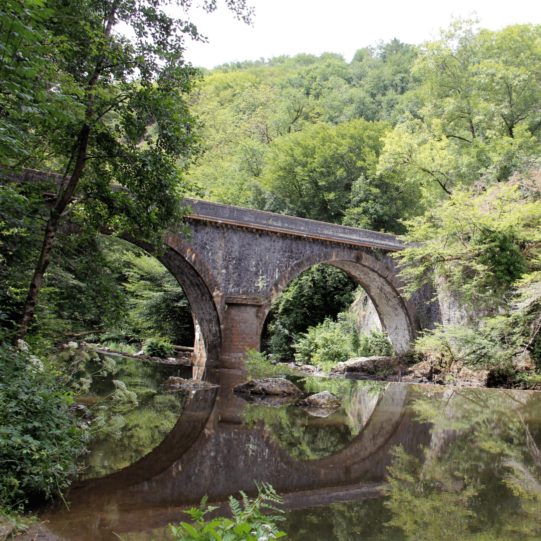
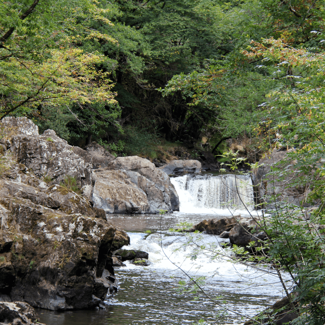
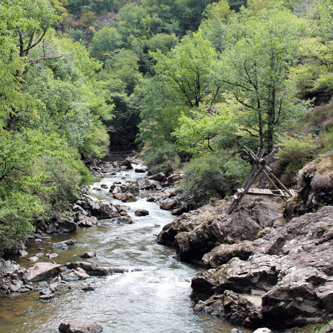
La Min-sú de Terrasson

retreat, reflect, refresh


The Auvézère

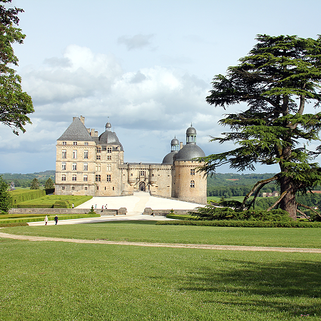
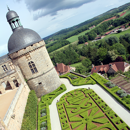
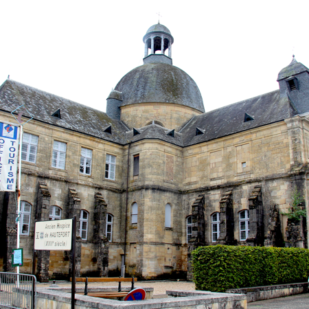
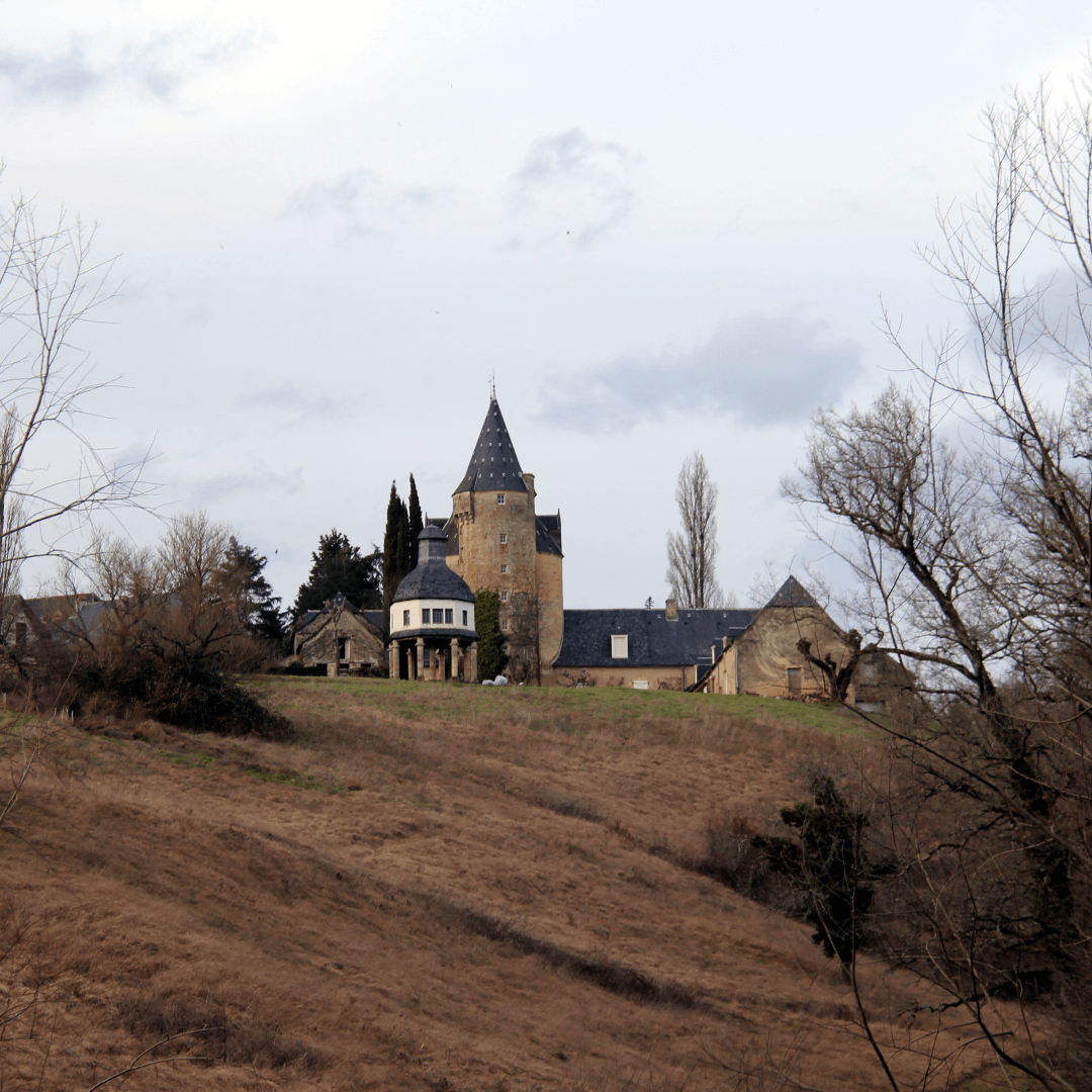
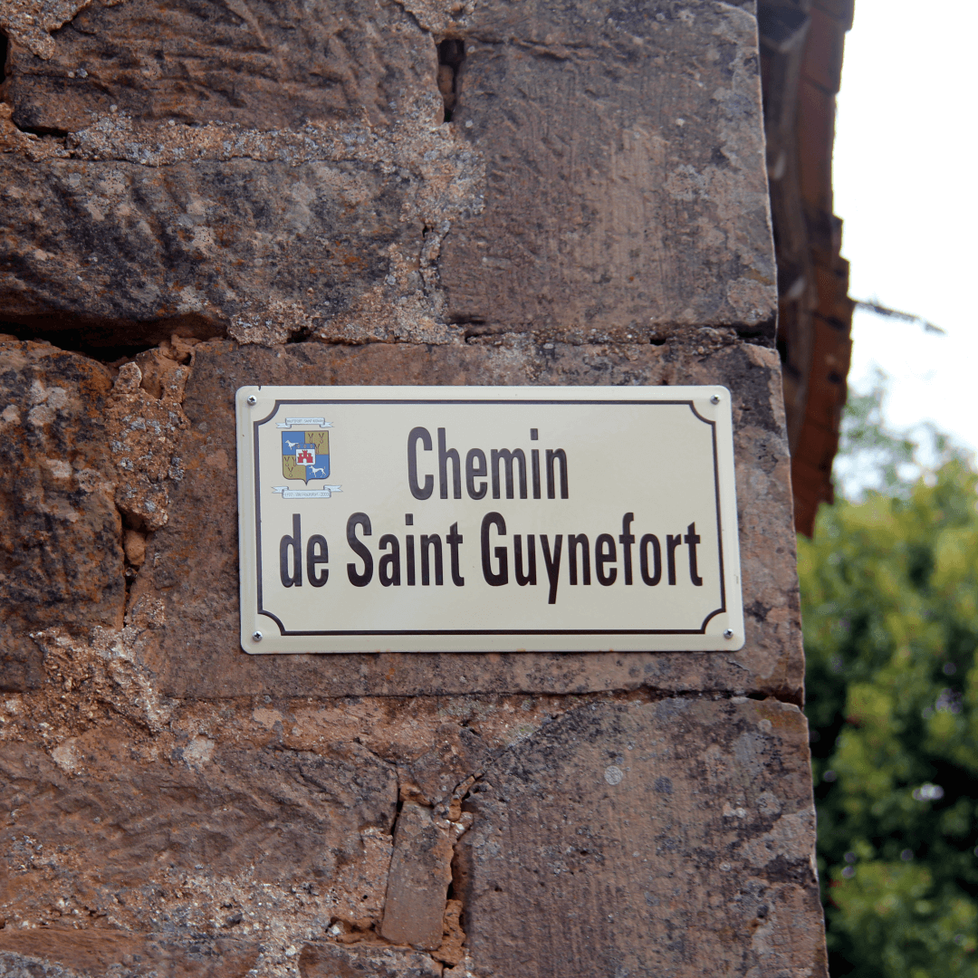
This area to the north-west of Terrasson is the land of writer Eugène Le Roy. Born at the castle of Hautefort, where is father was the ‘intendant et valet du baron de Damas’. The area is the setting of a number of his novels; Nicette et Milou (1901), Au pays des pierres (1906), and the posthumously published cheeky La Damnation de Saint-Guynefort (1935). His best known and most influencial novel Jacquou le Croquant (1900) is set in the Forêt de Barade on the south-western borders of this area, that is covered on the Périgord Noir page.
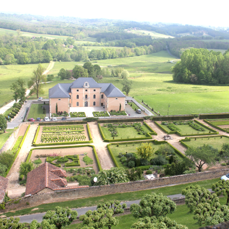
Auvézère, small river with a long history of supporting forges and cottage industries. Further upstream passed the Gorges de Auvézère the important industrial heritage sites of the Forge de Savignac Ledrier and Papeterie de Vaux are covered on the Vézère Ardoise page.

Le Pays d’Ans

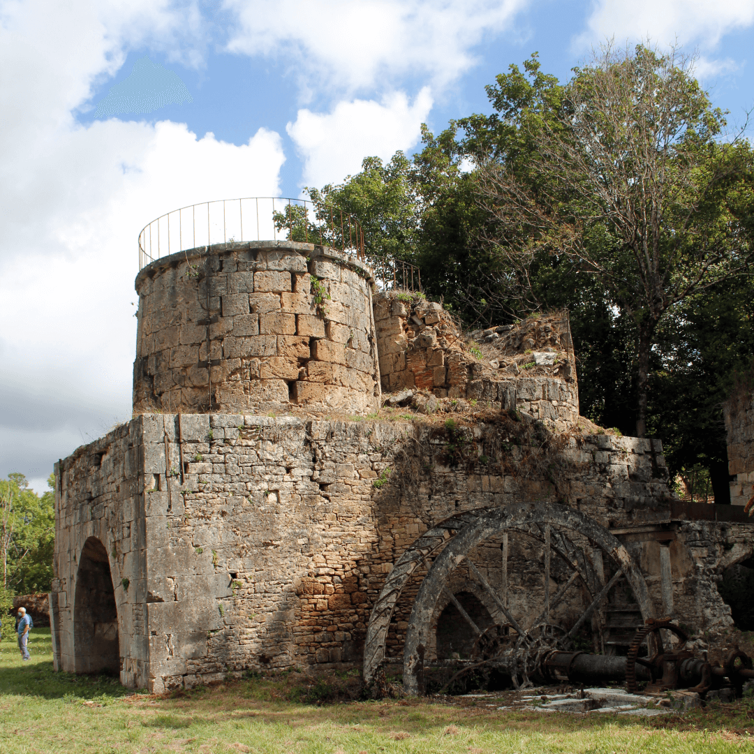
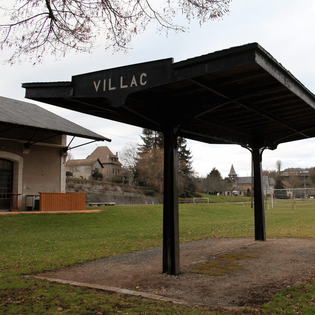
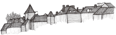
At the confluence with the small stream of the Blâme we find the Forge d’Ans, it is the start of the Route des Canons as well as the Pays d’Ans. Dating back to the 10th century when the Châtellenie of Ans was established under the Vicomté de Limoges. In the 13th century a castle was constructed in Ans close to today’s La Boissière-d'Ans (Ans being a pre-gallacian term meaning river). In 1346 the Ans castle was captured and recaptured by the 'English', then destroyed in 1370.

Map of the Auvézère Ardoise

map_location_auvezere
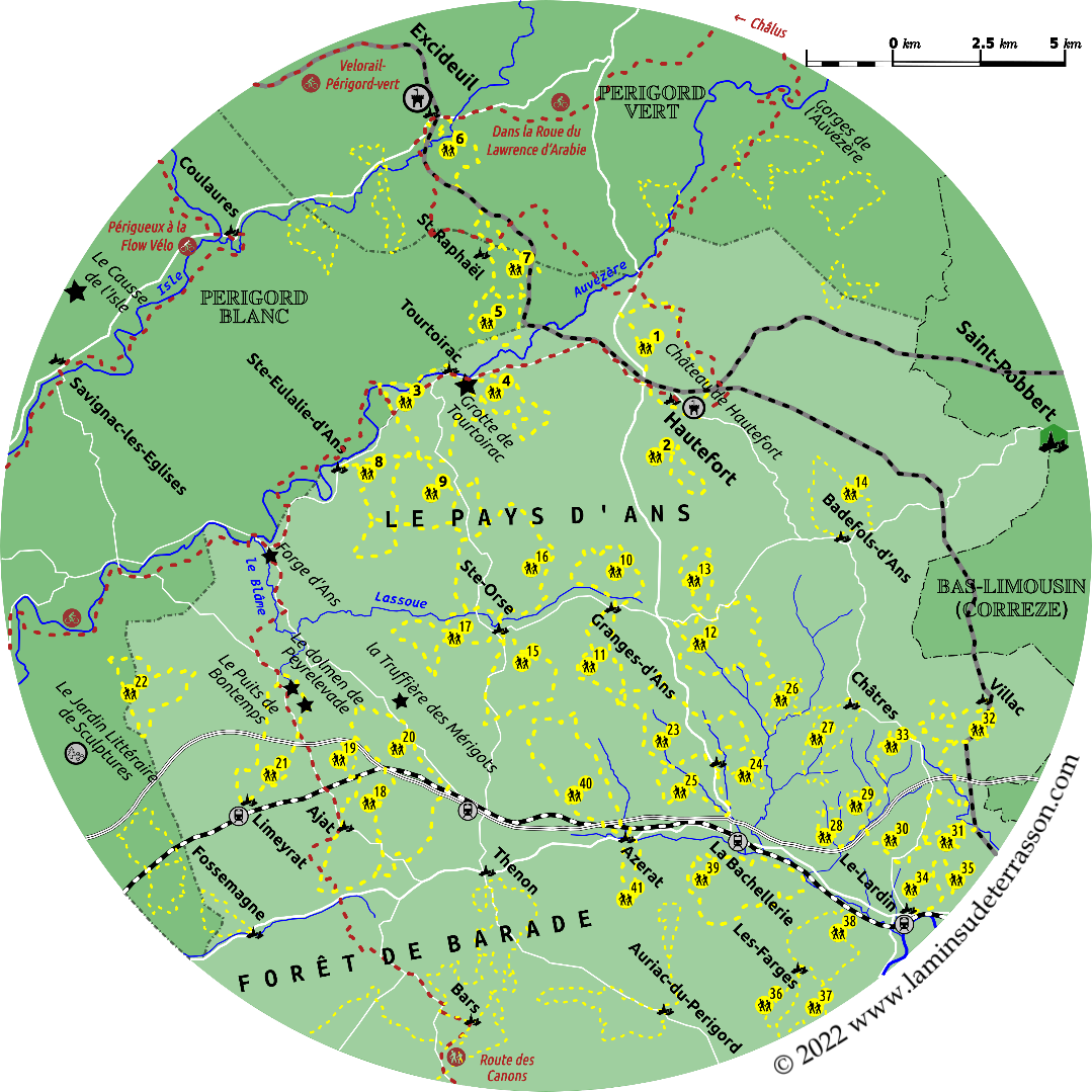
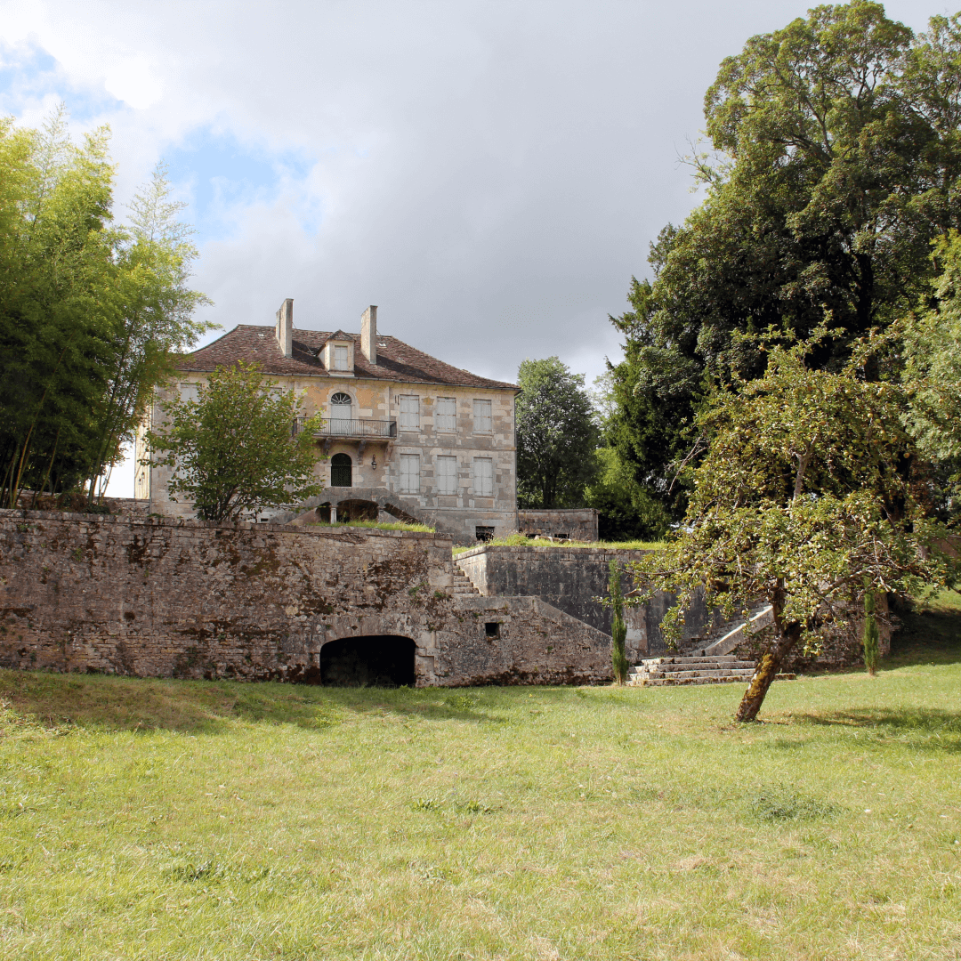
In 1440 the Count of Périgord bought the land of Ans, the 16th century a castle was constructed next to the Forge d'Ans. In 1607, it came under the french crown. During the 17th century the foundries of the Pays d'Ans developed into one of the most important forges in Périgord, producing cannons for the navy on behalf of the state. Today the map is littered with toponyms ‘Ans’ : Sainte-Eulalie-d'Ans, La Boissière-d'Ans, Saint-Pardoux-d'Ans, Badefols-d'Ans, Granges-d'Ans mere hints from an illustrious past.


Hautefort


Château de Hautefort


The Château de Hautefort dominates the watershed between the Vézère and Auvézère rivers. Hautefort is one of the most prestigious châteaux in Dordogne and indeed South-West France and is a listed historical monument. Build on a promontory it today overlooks the village of Hautefort. The site likely supported the roman camp of Altus et Fortis and might have been a celtic oppodium before that.


The current castle was build and rebuild from the 9th century onward, though little remains of the medieval strong hold, as is was extensively remodeled from the 16th century onward to become the grand renaissance castle you find today. Another reason making it famous is because a couple of Hollywood and French movies are shot here!

The grand château, build on a symmetrical plan with a main building and two wings embracing a terraced courtyard that overlooks the landscape to the south. The first wing encompasses the drawbridge, rebuild in 1588 preserving some of the defensive aspects like the moat, and connects to the 15th century round Tower of Brittany supporting the dome-shaped roof with its oak and chestnut wooden structures added in 1678.

To enter the top floor to visit the interior is a must do, because a phenomenal experience is guaranteed! The second wing was added after 1644 to perfect the symmetry a round tower (similar to the medieval one) was added (and also crowned with a dome-shaped roof) which still houses the chapel.

The style of the chateau is little known in the Dordogne and more like those built by the nobles in the Loire valley. A stroll around the building will bring you to the village oven and woodshed under the chapel, an underground tunnel serving the former kitchens and staff quarters under the large chimney room.

More recently, during the second world war, the underground space was used to hide French national treasures including the windows of the Cathedrals of Strasbourg, Nancy, Mulhouse and Colmar, together with precious manuscripts from their municipal libraries and artifacts from their museums.

The whole château is surrounded by impressive French style formal gardens. The gardens of the Château de Hautefort have been awarded France's Jardin Remarquable status. They comprise a beautiful French Formal garden with lots of clipped hedges producing geometric shapes and patterns which are filled with varying planting displays.

Looking down from the courtyard you will find the hedges pruned into sheep-shearing scissors that are part of the coat of arms of the Hautefort family (you will find them everywhere in the windows and floors of the castle and chapel as well). The English style landscaped park and gardens were designed in the 19th century by the Compte de Choulot, a famous landscape architect of the time. (entrance fee)


Hotel Dieu


This museum for the history of medicine is locate in the old hospice of Hautefort. Initially a place for the old and weak it developed into a hospital.


Designed in the shape of a cross with a round chapel at its heart. The wards are separated from the chapel by a wooden frame that could be opened so the patients could attend mass whiles remaining in their beds.

One ward was recreated, the other wards now function as exhibition space for an interesting collection of historic medical equipment.


Hiking trails starting from Hautefort
> Boucle de l'etang du Coucou: 5km - 1h40.
> Boucle de Hautefort: 9km - 3h.

Tourtoirac


This small village on the Auvézère river has some pleasantly shaded picnic spaces on an island in the river, reachable by a small pedestrian bridge. Main attraction is the natural cave just outside the village.

La grotte de Tourtoirac
Situated off the road to Hautefort this cave opened to visitors in the summer of 2010. The Grotte de Tourtoirac is a real geological gem. Discovered in 1995, the cave offers a 300m circuit illuminated by neutral-coloured LED lighting. The stalactites (which hang from the roof), stalagmites (which rise from the floor), draperies, candles and pillars can also be admired by visitors with reduced mobility, thanks to a lift and small footbridges which crosses the underground Clautre stream.


Le Musée des Rois d’Araucania et de Patagonie
At the back of the church you will find a small museum dedicated to the kings of Araucania. For those of us growing-up with reading Bruce Chatwin’s In Patagonia, the king of Araucania might ring a bell. Araucania is located in present day Chile between the Biobio river in the north, and the the city of Valdivia to the south. Indigenous peoples resisted the Inca expansion, and drove the Spanish out in 1598, their status settled in the 1641 Quillin pact, remaining independent till 1875.

So what does all this have to do with this spot in rural France? In 1825 a boy was born in a small hamlet close to Tourtoirac. He initially became a lawyer in Perigueux but then looked for adventure. Scouring over maps he discovers Araucaria and in 1859 sets out to claim it for France. After some time in the Freemasons lodge of Valparaiso, he crosses into Araucania by 1860.

He somehow convinces the locals to unite against Chile and Argentina, and declared himself king. After writing a constitution, a national anthem, designing a national flag and stationary, he informed the world. The indigenous population on the Argentine side of the Andes seemed to like the idea, and asked to join, leaving him the King of Araucaria and Patagonia!

The Chilean government was less amused, ambushed him, put him in jail, and a few months later, on trial. Though the former lawyer was able to defend himself, it took the French consul to get him out, and onto a ship back to France. He took up residence in Paris where he spent his time writing petitions and looking for funds to realize his dream. One profitable business being the sale of royal titles and rewards.

He managed to return in 1868, was arrested in Argentina in 1874, and tried again in 1876 but fell ill, returned to his birth place broke (but not broken). Spent his last years lighting streetlights, and died in September 1878… He did manage to find a successor, after his family refused the hereditary title, presently the Prince of Araucaria resides in Paris.

There is this small museum at the back of the abbey, and you are able to visit his grave (and that of his successor) in the graveyard just outside the village. This small museum is dedicated to a footnote in history, but a curious addition to the Tourtoirac cave.


Hiking trails starting from Tourtoirac
> Boucle les Bories: 9km - 3h.
> Boucle de Goursat: 9km - 3h.
> Boucle de la Fontaine de Ladoux: 5km – 1h40.

Le Causse de l'Isle

Map of the Causse de l'Isle


We are not sure if it was done on purpose, but the split of the heritage in a north and south section, in which the south is turned towards the future through Land art, whiles the north is taking a conservationist approach appears very smart. As the original land art recognized ‘the future is build on the ruins of the present’. It is interesting to see ancient sections of dry stacked wall morphing into something new, but it is equally valuable to conserve the old.


Art sur la Causse


Started in 2011 and 2012 as Land Art exhibitions, now an annual event more appropriately named Art sur la Causse as it includes many in-site installations that should not be named as Land art.


We were quite impressed by the Power Button by artist Wieger Franken which you can spot on the satellite image of the area. An interesting twist on Land art, the work consists of a large power button that was achieved by turning the soil in the hope to recover a possible seed bank left behind by its former land use.

A series of works by Natalie Cosson titled Apparition/Disparition take existing dry stacked walls as a starting point, playing with the ephemeral and possibly confusing future generations with what actually happened here. The exhibition featured a total of 63 works in 2021, new works are added every year.


Sentier des Cabanes


This 3.7 km long trail guides the visitor passed amazingly dense clusters of dry stacked stone vernacular architecture. An architecture without architects, built without mortar according to precise rules, in particular of horizontal and vertical calage (wedging). They are characterized by a so-called à encorbellement internal vault which is detached from the roof and which is highly resistant to bad weather.


Today almost overgrown by forest, it is hard to imagine these temporary shelters so closely linked to agriculture and particularly to the cultivation of vines dating back to the times this area was indeed covered by vineyards. The trail takes you passed Lassinée, the ensembles of Mallaurin and Dardinelle and five sites of L’Henriette. Some of the cabanes à double parois have double exterior walls we have not seem elsewhere, and have not been able to find information on their purpose. Far from the surrounding hamlets and villages, the cabanes served as temporary shelters and refuges against the overwhelming heat of the summers on the causse. To take a nap, shelter from storms or store tools.

The dry stacked stone constructions also had another purpose: getting rid of the stones that the cultivator removed from the fields in order to make space for crops. The area is crisscrossed by (low) walls, dotted with queyrous (pile of stones), guérites (shelters leaned against or integrated into a wall), drailles (path between low walls).


Railway heritage


Presently only the Brive-Périgueux railway is still in operation. Two abandoned railways Brive-Thiviers (1898-1940) and Hautefort- Terrasson (1899-1939) have left their marks on the landscape. Today the top section is in use as the vélorail, other sections have been integrated in hiking trails.

`

Hiking trails with railway heritage
> Boucle de pas de ma Mignone (Excideuil): 7km - 2h.
> Boucle de Tunnel (St-Raphael): 4km - 1h30.
> Boucle du Viaduc (Villac): 17.8km – 6h.


Velorail Périgord verte


Hicking trails Pays d'Ans

Hiking trails Pays d'Ans
> Boucle de St-Eulalie d'Ans: 10km - 3h20.
> Boucle de Chourgnac d'Ans: 10.5km - 3h30.
> Boucle de Granges d'Ans Nord: 7.5km – 2h30.
> Boucle de Granges d'Ans Sud: 8.5km - 2h40.
> Boucle de La chapelle St-Jean: 11km - 3h40.
> Boucle de Nailhac: 5km – 1h40.
> Boucle de Badefols d'Ans: 5km – 1h40.
> Boucle de Laudonie (Ste-Orse): 8.5km - 3h.
> Boucle de Boscornut (Ste-Orse): 12.5km – 4h.
> Boucle de Gabillou (Ste-Orse): 10.1km – 3h15.
> Boucle Bois Negre (Ajat): 12.6km – 4h.
> Boucle des Chauprades (Ajat): 6.5km – 2h.
> Boucle de Beauzens (Ajat): 17.3km - 5h30.
> Boucle de Peira Levada (Limeyrat): 10.6km – 2h15.
> Boucle autour de Montagnac: 9km – 3h.

la Truffière des Mérigots à Gabillou


Other hiking trails towards Terrasson

Other hiking trails towards Terrasson
> Boucle du Grand Coderc (St-Rabier): 13.2km - 4h.
> Boucle de Bord (St-Rabier): 6km - 2h.
> Boucle de la Voie Romaine (St-Rabier): 7.7km – 2h30.
> Boucle du Larres (Châtres): 8.2km - 2h30.
> Boucle des Puys Longs (Châtres): 6.2km - 2h.
> Boucle de la Bonnelle (Peyrignac): 3.3km – 1h.
> Boucle de la Nuelle (Peyrignac): 6.4km - 2h.
> Boucle de Château de Mellet (Beauregard de Terrasson): 7.6km – 2h30.
> Boucle de l'Elle (Beauregard de Terrasson): 4.6km - 1h30.
> Boucle du Village Rouge (Villac): 8.4km - 3h.
> Boucle du Viaduc (Villac): 17.8km – 6h.
> Boucle du Poujelou (Lardin): 4.2km – 1h30.
> Boucle de St-Lazare (Lardin): 5.3km – 2h.
> Boucle du Grand Peuch (Les Farges): 5.1km - 1h30.
> Boucle des Balcons du Sud (Les Farges): 9.6km - 3h.
> Boucle des Balcons du Nord (Les Farges): 7.3km – 2h30.
> Boucle autour de la Bachellerie: 10.9km – 3h30.
> Boucle de la Vallee du Douime (Azerat): 11.7km – 4h.
> Boucle des Sicardies (Azerat): 4.6km – 1h30.


Share this page:
Share on Facebook Share on WhatsApp Pinterest
landscape