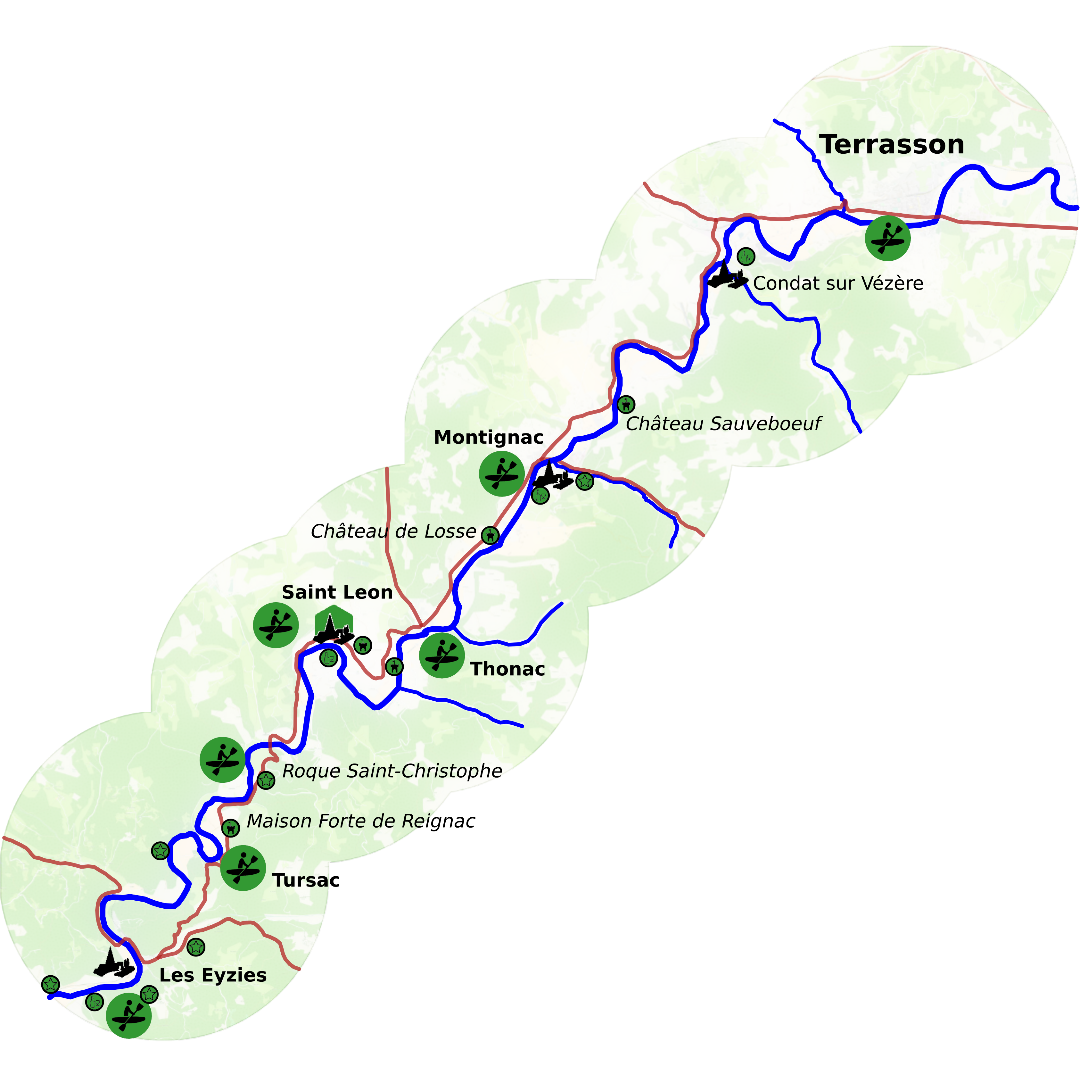
Ecotourism
Through this page we give you some general information help exploring our castle-strewn riverlands, the causse, gardens, forests and mesmerising prehistoric cave paintings.
Find out more about the ecotourism highlights through our pages:
We grouped the ways to actively explore the landsape:
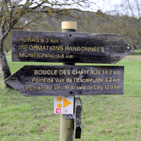
| > | Walking | Light strolls around town or villages | ||
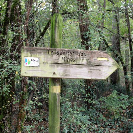
| > | Hiking | Longer trails away from the pavement and into the countryside | ||
| > | Long distance hiking | Hiking trails consisting of several section taking several days to complete | ||
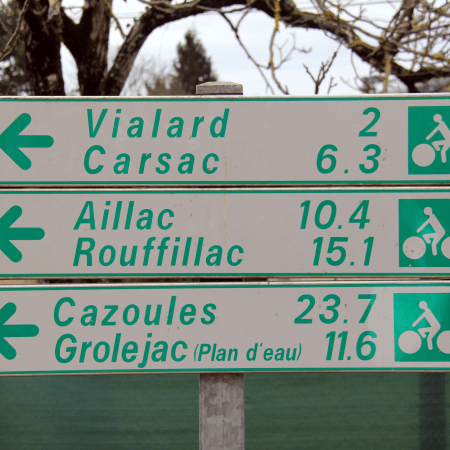
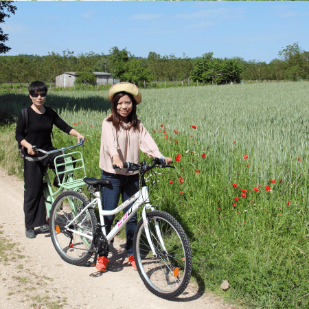
| > | Cycling | Reasonably flat and paved surfaces provided by dedicated 'voie vertes' or cycling paths | ||
| > | Biking | All terrain trails often shared with hikers or horse riders | ||
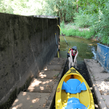
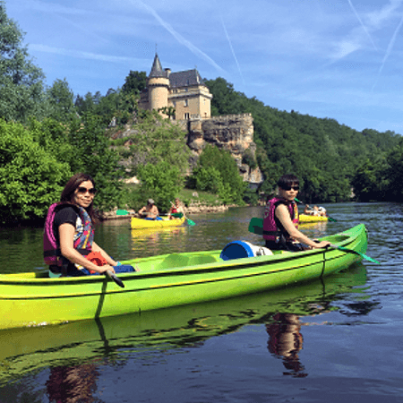
| > | Kayaking | |||
Most of the walks are based on hand-out leaflets of the local tourism-office or government. The hiking (and biking) trails are public trails signposted and maintained by the departmental government. A number of private companies provide services on kayaking and biking.